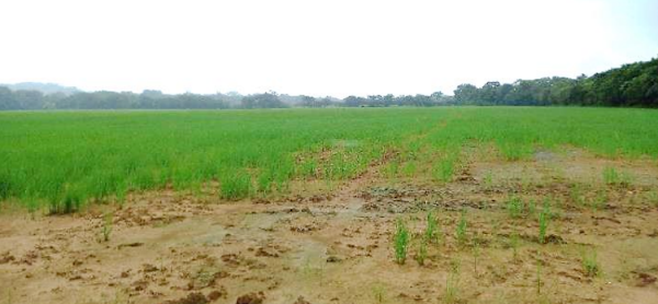
 Looks like rice cultivation
This was a litigation situation in Panama in which 3 different Panamanian appraisers had already appraised a group of agrarian properties which were near each other, with the highest appraised value more than 5 times the lowest appraised value. I was asked to make an independent appraisal.
Two appraisals had been done for the respective litigants, and one had been done by the Panamanian government. One of the litigant’s appraisals and the government appraisal quickly became suspect when it became obvious that these appraisers had not visited the properties. One property was actually a revenue-producing rice farm, and another was a residential property, but two of the three appraisers did not know this, casting doubt upon their inspections of the properties. If they had just consulted Google Earth, they would have seen the rice cultivation and the residence.
My appraised value came in second highest because I was only one of the two appraisers to notice a rice farm instead of a vacant agricultural parcel. I elected to use local comps (from the same “corregimiento” which translates as “township”) rather than use superior locations outside of town.
